 DataSuds-geo
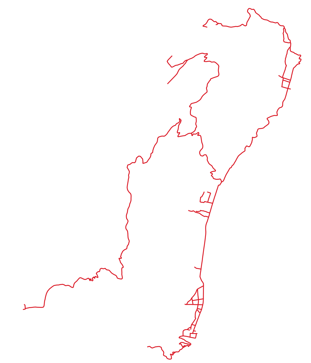
Roads - Atauro Island - East Timor - Asia
Roads on Atauro Island, East Timor digitized from Pleiades satellite image 157 km2, Bundle à.5, Panchro + 2 m Color, dated May 19, 2016.
Simple
- Date (Publication)
- 2024-07-24
- Edition
-
IRD
Citation identifier
- Presentation form
- Digital map
- Purpose
-
Basic information for mapping the island of Atauro.
- Status
- Completed
- Point of contact
-
Organisation name Individual name Electronic mail address Role Institut de recherche pour le développement
Dominique Guillaud
Resource provider IRD-UMR PALOC
Elisabeth Habert
Author IRD - UMR PALOC
Elisabeth Habert
Point of contact
- Maintenance and update frequency
- Not planned
- Metadata author
-
Organisation name Individual name Electronic mail address Role IRD - UMR Paloc
Dominique Guillaud
Resource provider IRD
Elisabeth Habert
Point of contact
- Theme
-
-
Roads
-
- Place
-
-
Timor oriental, Atauro
-
- Access constraints
- Intellectual property rights
- Use constraints
- Copyright
- Other constraints
-
Free use subject to mentioning the source and citing the origin of the data when used for publication: Programme ANR 18-CE27-020 - UMR PALOC - E. Habert - D. Guillaud
- Spatial representation type
- Vector
- Denominator
- 100000
- Language
- Français
- Character set
- UTF8
- Topic category
-
- Society
- Begin date
- 2013-05-19
- End date
- 2020-10-28
))
- Reference system identifier
- WGS 1984 - EPSG 4326
- Geometric object type
- Curve
- Geometric object count
- 37
- Distribution format
-
Name Version Vecteur ou Shapefile,etc
Distributor
- Distributor contact
-
Organisation name Individual name Electronic mail address Role IRD
Publisher
- Distributor format
-
Name Version Vecteur ou Shapefile
- OnLine resource
-
Protocol Linkage Name OGC:WMS https://datasuds-geo.ird.fr/geoserver/wms paloc_ws:Routes_Atauro
OGC:WFS https://datasuds-geo.ird.fr/geoserver/wfs paloc_ws:Routes_Atauro
- OnLine resource
-
Protocol Linkage Name DOI
https://doi.org/10.23708/bc3ab1e4-5386-4eee-9576-0015e901e7de Digital Object Identifier (DOI)
- Hierarchy level
- Dataset
- Statement
-
Data digitized from the Pléiade image 157 km2, Bundle à.5, Panchro + 2 m Color, datée du 19 mai 2016.
UMR PALOC
Metadata
- File identifier
- bc3ab1e4-5386-4eee-9576-0015e901e7de XML
- Metadata language
- Français
- Character set
- UTF8
- Hierarchy level
- Dataset
- Date stamp
- 2025-03-13T16:08:59.214726Z
- Metadata standard name
-
ISO 19115:2003/19139
- Metadata standard version
-
1.0
- Metadata author
-
Organisation name Individual name Electronic mail address Role IRD - UMR PALOC
Elisabeth Habert
Author IRD - UMR Paloc
Dominique Guillaud
Publisher
- Other language
-
Language Character encoding English UTF8 French UTF8
Overviews
Spatial extent
Provided by
